


La Concha, Marbella, Andalucía, Southern Spain
When driving down the A7 south from Fuengirola towards Gibraltar one can't fail to notice the huge mountain that towers up behind Marbella and Puerto Banus. La Concha or the shell is 1203m, and can be ascended either from Marbella, which would be a tough walk, from Istan or the easier route that we took from El Refugio de Juanar which approaches from the northern side. We have been up it several times before, but this time stayed the previous night in the refuge to enable us to leave before it was light, and being September hopefully missing the heat of the afternoon. This is a mountain with something very unusual on top-more later.
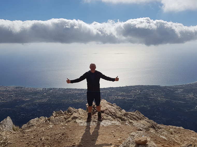
I would recommend the walk, but at a couple of points there are steep drops, where chains are provided to help. Most of the path is easy to follow as long as the cloud does not blow in. The views can be absolutely stunning, as far as Gibraltar, North Africa, and up the coast towards Malaga. Unfortunately recently there has been a couple of incidents involving walkers on the mountain, so take care, take a friend, phone (emergency services 112) wear boots, and take plenty of food and water.
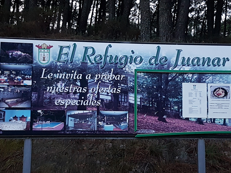
Refuge de Juanar is situated on a side road off the main Marbella to Ojen road and well sign posted. We found our stay at the refuge strange, not like any refuge we have previously stayed in. There was a pool which was open, no Wi-Fi in the room, a 3 course dinner for €25, which we did not partake in, eating salad in the room instead, and a very small television. Breakfast was at 8.30am which is not very walker friendly. But it is a beautiful historic building.
Skipping breakfast we left at 7.45am, just as it was getting light. It was early in Spain but two hours later than we would have been up on our previous walking trip on the GR20 in Corsica. From the driveway of the refuge we walked to the road, turning right with the sound of birds singing in the trees. We walked up the road, which after 5 minutes is blocked by gates, with plenty of free parking both in the parking area and on the road. We had left our car at the refuge, the parking there being solely for guests.
The path rises gradually, and after 5 minutes passes a mirador to the left, then continues upwards through a very pretty grove of olive trees with lovely views of the surrounding hills. After 25 minutes or one mile after the refuge, there is a sign on the right saying to La Concha 2 hours 10 minutes.
The path gradually rises through more trees, and at 8.55am we reached the top of the col Puerto los Allanas, where the path joins one coming up from Marbella. The first views down to the sea and Marbella are now apparent. Taking the path to the right, we followed the ridge until the path is marked by an old post, and followed a steep drop to the right, going round the back of a mountain. The path now continues along the line of a cliff with some chains to hold onto. If one is inclined to vertigo maybe this is not the place to be. Eventually the cliff is left behind, the path following the ridge once more. At 10.10am we had the first views of the top of La Concha and Puerto Banus. After 5 minutes we turned left at a post and followed the ridge, taking care on a further chained section. There is a path along the ridge, but with steep drops to both sides and thorny plants to negotiate. There is an easier path to the right hand (southern) side of the ridge, with red and blue flashes to follow.
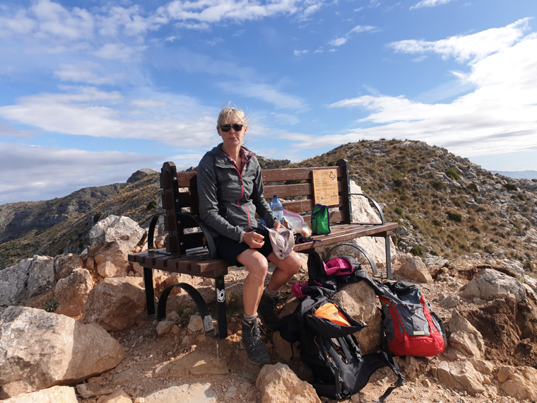
We arrived at the top at 10.50am, 3 hours after leaving the refuge. The views were fantastic, but we have been up here on previous occasions when it has been clearer. We sat on a bench located there, eating an early lunch (having not had breakfast), watching the views, and cars on the motorway far below. There are not many places where you can sit on a bench at 1200m, with such sublime views.
We left before the rolling cloud came in, but luckily it seemed to stay just behind us. Following the same path down. Again taking care on the chained sections.
We felt sorry for the people coming up who would not experience the great views we had. Continuing down the path, it became more and more busy. Obviously a walk in the woods/olive trees found on the first part of the walk is a very popular activity in Spain, this was a Sunday too. Many families were out, which is lovely to see. By the time we reached the gated road again, 100s of cars were parked.
We reached the refuge at 2pm, very pleased we had completed the walk before the cloud on the top had rolled in, and before the heat of the afternoon built up. We would definitely recommend this walk with unbeatable views from the summit. But take great care on the chains and rocks especially if the weather is wet.
Distance 8.85 miles (14.5km)
Duration of Walk Hours 6.21
Average Pace Min/Mile 43
Steps 33432
Elevation Gained 1945 feet (592m)
Information/Advice
As usual wear boots, take a phone, take sun hats, sun tan lotion and plenty of food and water as after leaving the refuge nothing is available. Try to go with others, leaving early in the morning to avoid the heat, and so parking is not a problem. It can also be chilly on the top, especially if windy or the clouds roll in, so take a wind proof jacket and hat. Parking maybe an issue during the summer months and at weekends, so arrive early to get a space.
Being located in southern Spain, I would advise not doing this walk in the summer months as it would be far too hot, and would require carrying too much water.
Check the weather forecast before setting off, as it would be a shame to walk all this way and have no view. We have been to the top twice before, both times with fantastic views.
Be aware vertiginous drops, so only attempt the whole walk if you are not scared of heights, and mind children/pets carefully.
Long trousers could be necessary to protect legs from thorny bushes, but in October when we walked in shorts we had no problem.
This area of Southern Spain is accessible from England either by driving through France and Spain, or flying to Malaga then hiring a car or the route that we took driving from our home in Manchester then catching the 24 hour relaxing ferry from Plymouth to Santander, then touring through Spain.
Resources Used
Coastal Walks in Andalucía by Guy Hunter-Davies Walk 20 Cicerone press
Websites used